Day 249: Dunbeath to Crackaig
Distance: 21.26 miles
Ascent: 4800 feet
Weather: Overcast With Light Drizzle in Morning
Accommodation: Crackaig Campsite (Kindly Complimentary)
After a good nights sleep and some lovely free range eggs from the chickens in the garden for breakfast as well as a packed lunch I was ready for the off. I said goodbye & thank you to Amanda, Ray and the dogs and then after faffing I was off about 8:15. I was a bit anxious about today as I thought it may be similar to the soul destroying route/terrain of yesterday and today was planned to be about 6 miles longer as well. It had started raining albeit lightly as soon as I left.
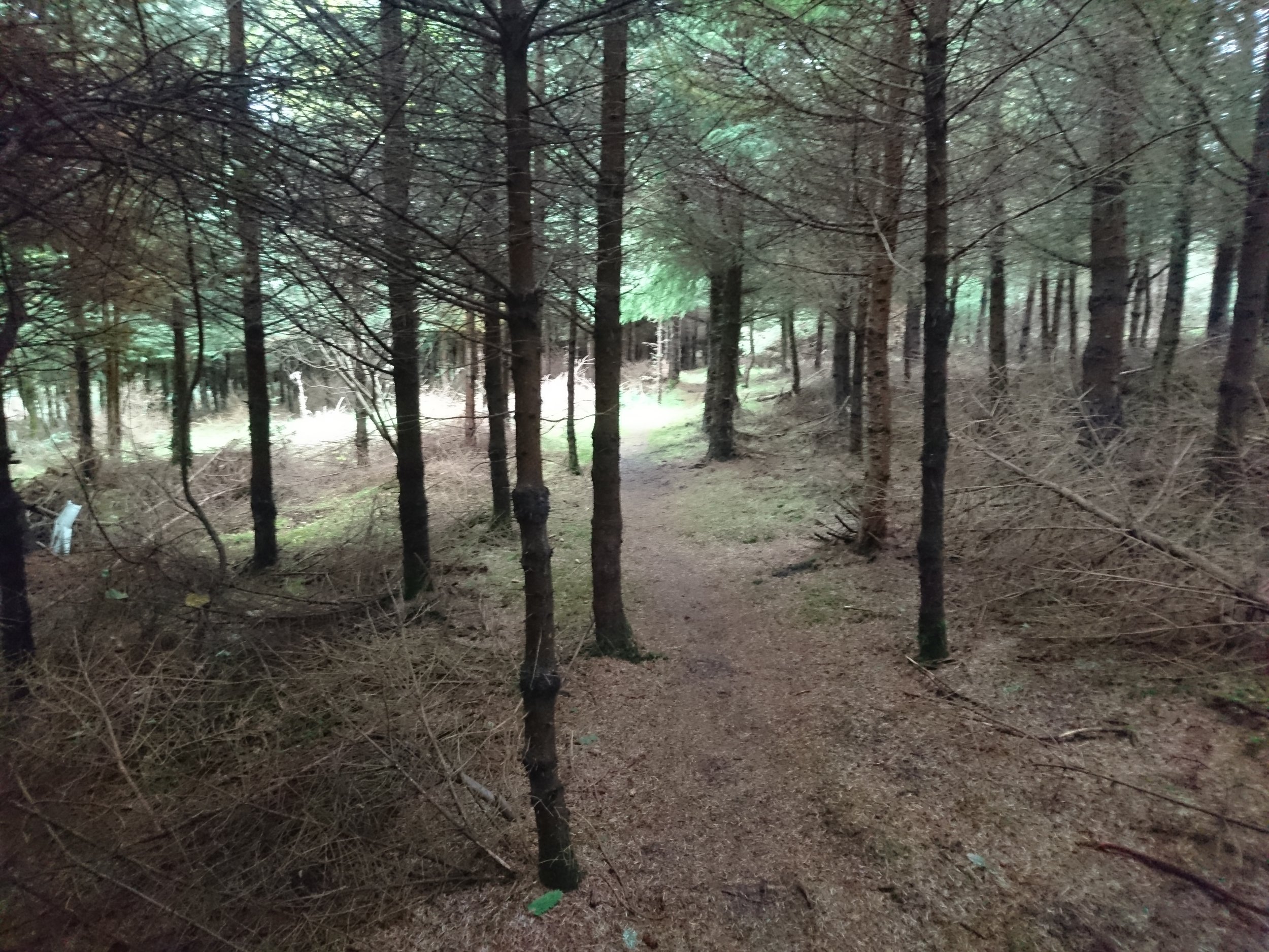
Regardless of that I set of down the road and once across the river I took a quiet road up and behind Dumbeath Castle where I saw my first JoG trail marker of the day. In fact it took a really good route around the back of the castle and farm before heading through a little fir forest and back down to the coast. Even this next stretch which was wedged between the barbed wire fence and the cliff was not too bad as it was wide enough and for some reason the path seemed to be a bit more trodden or cleared and there seemed to be stiles or little bridges over every obstacle.
After a few miles I reached Berriedale and several people over the last 3 or 4 weeks (even when I was on the West Coast) have recommended the café here so I thought for a treat I would pop in and grab a tea and small snack. This break was even more welcome as the light rain had not let up since I left. After my short break I headed down through Berriedale towards the sort of harbour and there is a very cool pedestrian suspension bridge here.
From the harbour it was a very steep climb up to a tower/monument which I am not sure what it was for but from here the walking was simple following the edge of a sheep field before reaching a track shown on the OS map which to my surprise the JoG trail also followed. This track was quite rough but absolutely beautiful and was exactly what I needed to perk myself up after the path yesterday. When this track finished it was a case of simply following the trail along the edge of wall over the hill before dropping down to the interesting clearance village of Badbea which also had a monument to some of the people had who had lived here.
After Badbea the JoG trail contined to be quite clear and obvious though there was one fork which wasn’t marked and I took the most prominent looking track which I think was actually wrong though it went in roughly the right direction but when I got to Ousdale Burn, a very deep ravine, I was a long way above the bridge below (see photo below) but very carefully I descended down to the bridge, I am sure the official route would have got down a bit smoother. Just short of the bridge I had to do the assault course over the deer fences, and then cross the bridge which quaintly said ‘1 at a time.’
The climb back up was very steep and exhausting, but kudos to whoever came up with a route that managed to get up here. At some point I think they may have to put a few steps in just because people walking this section are already making it shear in a few places. At the top I stopped for a little break to recuperate. My body was exhausted as though the path had been good today, it was still a tough section.
There were now so many waymarkers taking me across the heather and up to an old track (now barely discernible as a track apart from a slight dip) that there was no way anyone could go wrong. The route followed the track for a little while though it slowly got more and more overgrown. The JoG trail volunteers had done a good job clearing some gauze and putting waymarkers in but slowly the path almost disappeared. It was just about visible in most places and essentially I was creating the path a bit more for the next person that came through. I was exhausted and starting to wonder if for the first time in a long time if I may not actually reach where I was hoping to finish today.
I am not sure quite how the JoG trail enters Helmsdale, signs seemed to stop but I took a track to Navidale Farm and then took the road the short distance into Helmsdale. I stocked up on a couple of supplies in the shop and then carried on. The JoG trail heads inland here for some reason but I saw no issue heading along the beach. It was a pebble beach so not the easiest to walk but there was no issue walking along to Portgower.
At Portgower I was able to start walking along the grass at the back of the beach and a short while later the JoG trail rejoined me. From here it was just a case of following along the beach between the railway and the sea as far as I could go. Just short of Crackaig Links I came across a massive group of seals on the sand, maybe 150 of them, I tried not to disturb them by giving as wider berth as possible but suddenly one panicked and then about half of them charged into the sea and it was quite a sight.
Shortly later I came to Crackaig Caravan Park, I felt like death and must of looked like death as the lady kindly let me pitch for free. I decided with the wind forecast to be light I would pitch slightly more exposed than normal to try and reduce the issue of dew on the tent, and help dry a couple of things. I am regretting that decision already whilst typing this as the tent is flexing quite a lot though should be fine.
The JoG trail today was a completely different ballgame to yesterday with most of todays route being sensible and it was clear how much work had been put in coming up with, maintaining and waymarking this section. An incredibly tough day, really too long for the terrain but very satisfied and content now sat in the tent.