Day 134: Bootle Station to Parton
Distance: 27.9 miles
Ascent: 2369 feet
Weather: Sunny, then Rain just Before End
Accommodation: Wild camp Near Parton
Well this morning was the earliest start since the first few weeks when light was an issue. I was hoping to cross over the River Esk using the ford, which would require low tide and as low tide was at 6:30am I left at 6am knowing it was about an hour away.
I followed the little lane which took me down to the beach before skirting the landward side of the firing range. As I was heading along this lane a small deer appeared in front and seemed not to have noticed me so I watched it for a few minutes but eventually I had to continue and the deer suddenly saw me and scuttled making quite a mess of jumping the fence when he caught the fence with his rear legs which unfortunately sent him tumbling, but he got up quickly and was on his way.
From here it was not long till I was at the River Esk, a lot of walkers had said they didn’t think this was crossable but based on finding a walker who had done it last year I decided my plan was to attempt it. On arrival it didn’t look too deep, or fast flowing though it was a fair way across in excess of 10m. I decided it looked slightly too deep for my boots so I took them and my socks off and waded across. Though cold the water felt amazing on my feet, and the river bed was sand and gravel meaning it was not soft at all which was perfect. I was quickly across and I would say the maximum depth was somewhere between 6 & 10 inches.
Once across I followed the edge of the estuary to Ravenglass, which was a quaint little village. Fortunately there was a bridge strapped onto the side of the railway bridge to get me across the next river, though I had read that the next ford across the River Irt was completely impassable and that it would be dangerous to even try, so obviously I headed inland to find the first crossing point which was at a beautiful old stone arch bridge called Holme Bridge.
After using a mixture of fields and mainly roads I was back down on the beach. Weirdly though it had been clear and sunny early this morning, a strong haze suddenly appeared and it made everything a bit damp and the temperature plummeted. The visibility was reduced which made the whole beach which was lined by dunes seem very eerie. After about a mile or so I suddenly saw some boulders appear out of the haze not far away, then suddenly I noticed one of them move and I suddenly realised there were some big (though docile) cows on the sandy beach.
At Seascale I had a tea before joining the ‘cycle’ path, cycle in inverted commas because I wouldn’t want to cycle it, it is definately more of a footpath. This path took me all the way to Sellafield Nuclear Facility and its myriad of security features. Unfortunately after reaching Sellafield train station, the route tries to divert you inland a fair way. There was actually the original board there saying the path was being diverted inland until December 2013, well 5 years later they have obviously just got rid of it all together. I was determined to stick as close to the coast as possible so decided not to use their diversion but come up with one that may link up with the old removed Cumbria Coast Path (CCP).
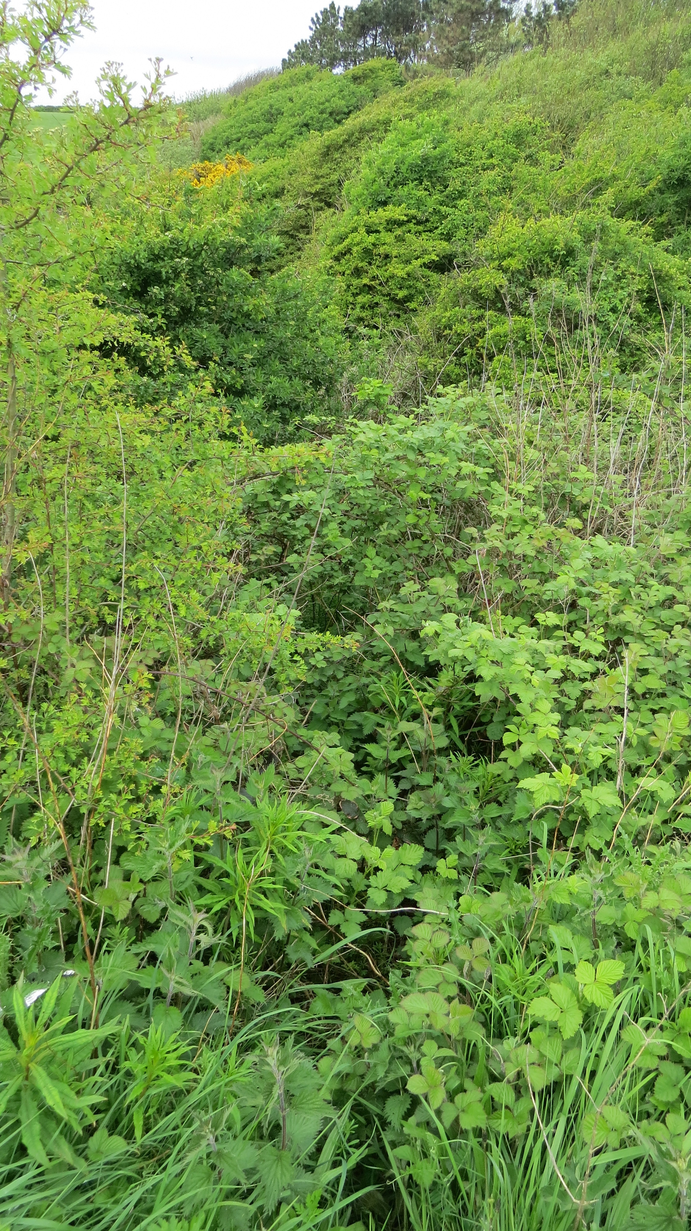
I had set on using a little footpath to Mid Tarn Farm, and then use tracks to get me to the location where I though the CCP used to be. I instantly hit an issue as the path had completely overgrown and without ripping all my stuff it was impassable. But I saw a gate to get me into the field a bit before and then had to climb over a barbed wire fence to get back on the path which was clear by this point. After heading down the track I felt I was in luck as this definitely felt like it used to be a path if a little overgrown now, though at least one other person had been here relatively recently, then there was an old set of wooden steps now a little rotten but took me down to the flats, and after the way took be across the river by the railway line there was a little tunnel which took me under the railway and onto the other side where there was a clear track. I believe this is the absolute closest you could stay to the coast at the moment, but they should just reopen the 300m stretch from Sellafield Station.
From here I followed the beach for several miles before climbing up onto the small coastal lane at Nethertown just for a change of scenery. This lane took me all the way to St Bees where I grabbed some lunch. St Bees is also the start of the very popular Coast to Coast Walk, and by accident I made their walks seem quite short but the route does look fun.
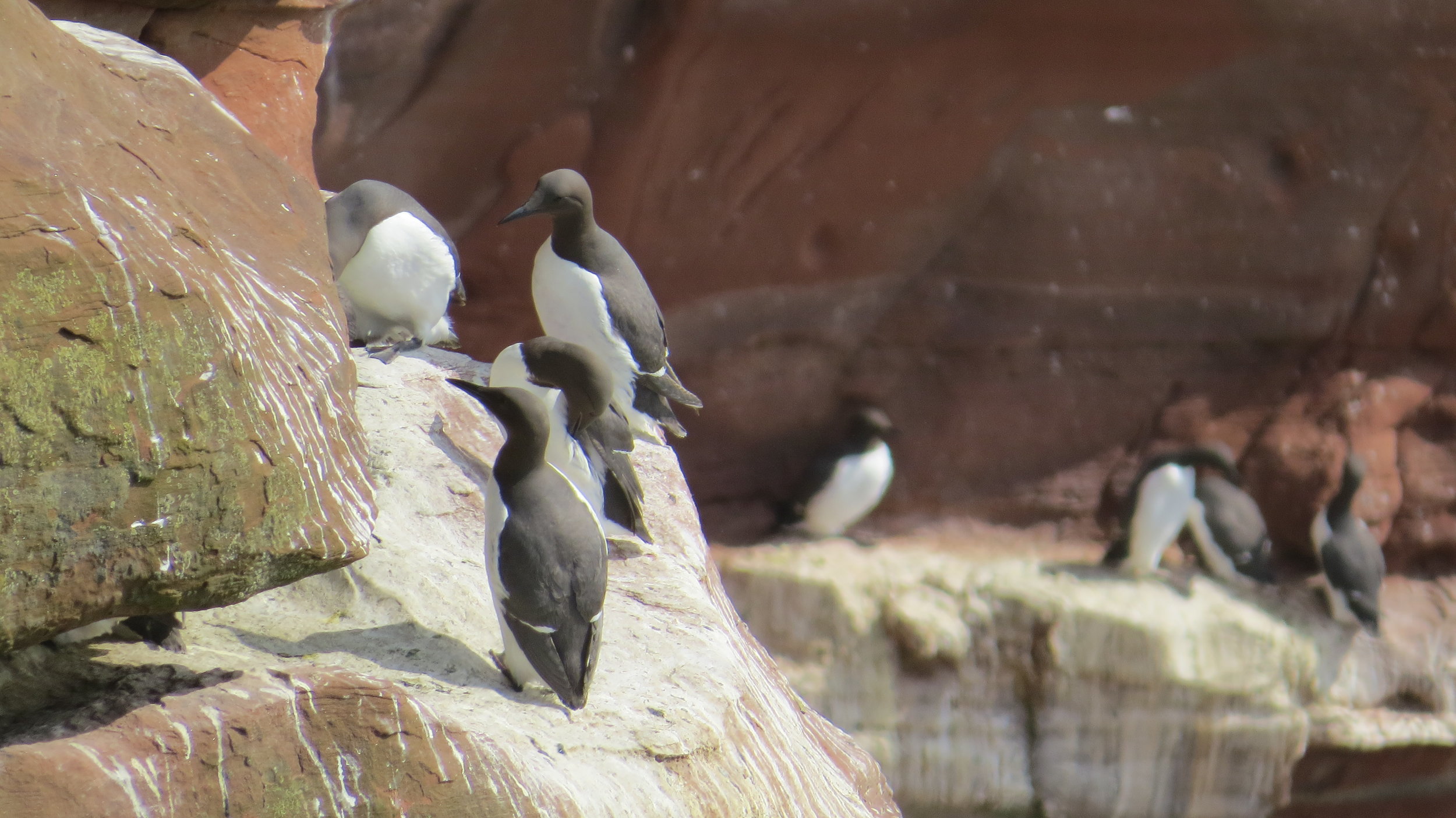
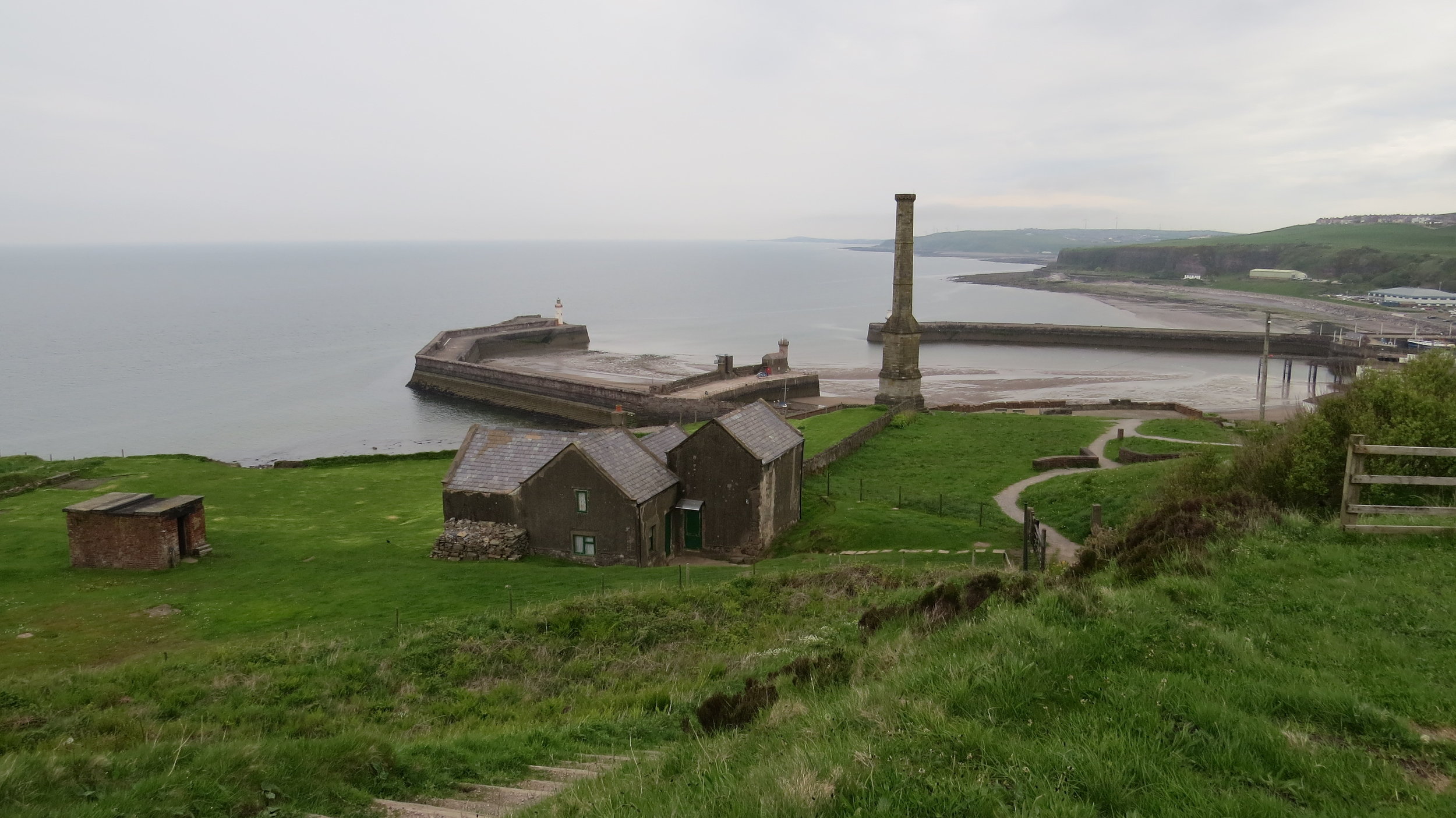
From St Bees, for the first time in a while, the path climbed up onto high cliffs. With the sun out this section was stunning, and it was also possible to see 100’s of guillemots on the cliffs. After several miles of moderate ups and downs the path began to descend to Whitehaven with its very impressive harbour. Unfortunately, it started to rain just a couple of miles from where I hoped to pitch. I grabbed some supplies in Tesco, and then walked along the cycle path and fortunately found a good spot between Whitehaven and Parton and pitched without getting too wet.
So, a day where the issue points were overcome relatively easily, and the scenery was stunning.
NB-took too many photos and couldn’t whittle them down to 12.