Day 152: Ballantrae to Culzean
Distance: 23.60 miles
Ascent: 1959 feet
Weather: Foggy Morning, Rain & Sunny SPells Afternoon
Accommodation: Camping Culzean Castle
I woke up to a very foggy morning and the sound of foghorns out to sea. My tent outer was soaked, so I just packed it up as quickly as possible and got moving. I passed the harbour arm shrouded in deep fog and then the path took to the beach which was very eerie in these conditions.
After a couple of miles the Ayrshire Coastal Path strangely follows the verge of the busy A77 inland slightly, but I decided to stick to a more coastal track which was shown on my map and turns out to be the now disused old road. This route is now partially farmland but made for easy walking below the imposing cliffs. After a mile and a half, I did have to join the official route along the A77, I was amazed that literally you had to follow the verge which was just about wide enough to make it safe but there was no actual pavement and just a slightly more mowed area. It is absolutely mad that an official path takes this sort of route and if it does follow such a main road, at least segregate the path from the road.
This road verge walking went on for about 4 miles, about half way along this stretch I passed a very unscottish sounding memorial The Varyag Monument. It turns out this is in memorial to a warship that sank nearby in 1920. This ship had an interesting life being made in America for the Russian Navy (can you imagine that nowadays!), it then took part in the Russo-Japanese war where it took on 5 other ships singlehandedly before finally having to be scuttled and taken over by the Japanese, it was passed back to the Russians afterwards, before being seized by the UK when the Russian government collapsed into communism. A bizarre life for a ship.
Finally not long after Lendalfoot, the path left the road and headed up a track up onto the steep hills next to the road. This track was very atmospheric in the now even heavier fog/haze, and I really enjoyed this part. A large mast slowly appeared out of the fog, before the track slowly descended back to the A77, which it followed to Girvan.
I stopped in Girvan for lunch, Girvan had some lovely buildings and was bustling with people. I also stopped at a shop to get some stuff for dinner, so that I did not need to stop at the end of the day.
From Girvan the official route heads inland briefly though I followed a clear track along the side of the pitch and putt (maybe just about big enough to be an actual) course, before skirting the side of a field to re-join the path. From here the path followed the beach or overgrown areas alongside it for the next few miles, and the sun was just starting to poke its head out. The path did another short inland diversion around a large sewage treatment works I think, but the tide was just about low enough I could just follow the beach instead.
After this I decided to stop for a short break and to put sun cream on as the sun was now actually out. I was halfway through putting the sun cream on when guess what it started to rain quite heavily, so I had to change tact and put my waterproofs and backpack cover on and put my camera in the backpack.
I continued heading along the beach and fortunately the rain didn’t last too long, just before Turnberry Golf Course I had to cross a little river which I decided to cross using a pipe that was in front of me, rather than head inland a bit to cross at the footbridge. About half way across the narrow strip I wondered what I was thinking as it was a bit of a tightrope but I got across easily enough.
I was now on the beach on the other side of the famous Turnberry Golf Course, I decided to head up the dunes to get a first view of the course and the associated buildings. It is a shame my camera was in my backpack as this course really is incredible, it visually surpasses all the other courses (including other open courses like Hoylake) I have seen by a country mile. It is hard to explain what is so spectacular about it, as it is just a links course so not flashy flowers or trees, but the way they have manipulated the course in the dunes and the associated buildings is amazing. The path does actually cross the course near the lighthouse, but either the route didn’t follow the route on the OS map or there was a sign missing, so I ended up having to cross one of the fairways just behind a group of golfers with their caddies to some very confused looks as a sweaty walker with a large backpack was quite out of place.
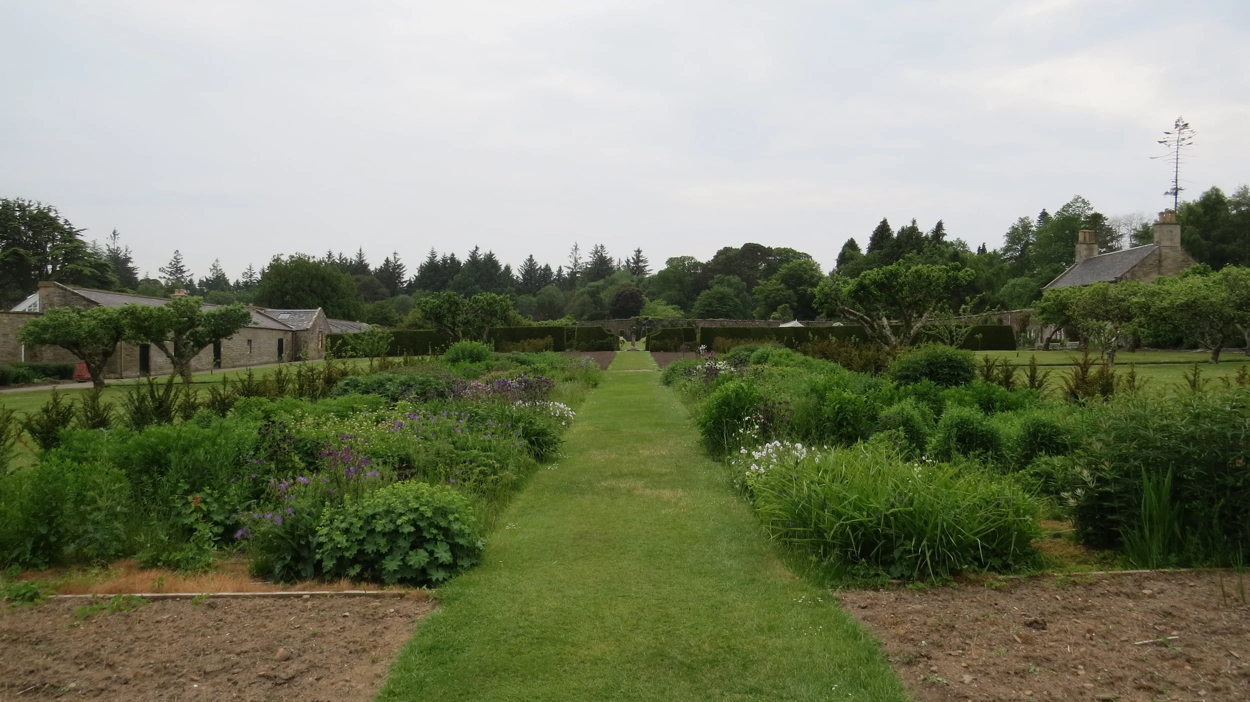
From the golf course it was a short stroll on a pavement to Maidens, before the path drops down to the beach and then enters Culzean Country Park. This is a spectacular wooded area with loads of lovely gardens and quite simply the greatest, vastest kids play area I have ever seen, would have taken a photo but nowadays the police would have been called with a guy with a large backpack taking photos of a play area. I didn't actually see the castle today, but will tomorrow. After passing the large walled garden, I soon arrived at the campsite I would be staying at tonight and just got the tent up before it started raining again.
So a mixed day, which was in general very scenic but the trunk road paths did not make for good walking.