Day 205: Kyleakin to Leitir Fura
Distance: 13.10 miles
Ascent: 2969 feet
Weather: Overcast with Sunny Spells & Light Rain
Accommodation: Wild camp Leitir Fura
After getting a bit behind with diaries and admin last week due to signal and also having had a tough week I was in need of the rest day though most of it got taken up catching up on diaries, changing/pdfing/printing maps, laundry, getting supplies etc. so not actually that much rest on top of being in the tent. But I was prepared enough to head off for week 30.
There was a decision to make straight away whether I headed inland a bit on roads, then follow a track before following pylons back off piste to the other side of the river at Loch na Beiste, or instead go much more coastal and head towards Casteal Maol and the cross country across the heather before crossing the river to get to the same place on Loch na Beiste. I had all but decided to take the more inland route even though it could have issues as well but on walking out of the hostel I turned right so my body had chosen the other route which was the more coastal one.
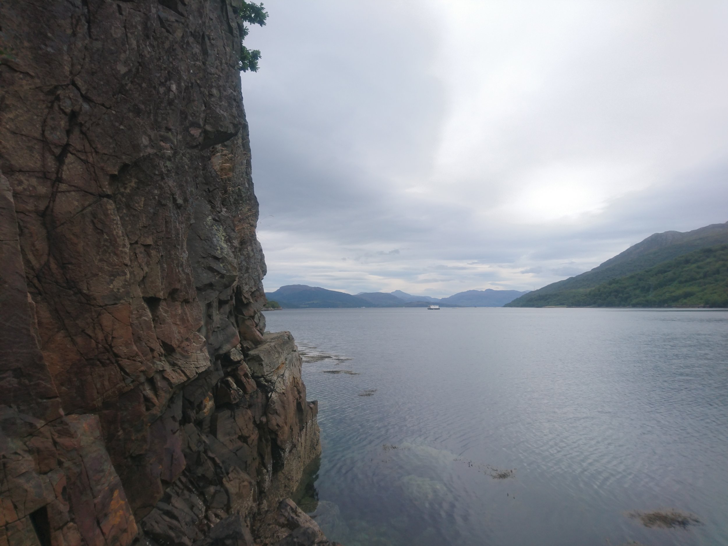
So, I followed the road to the very end of Kyleakin crossing one river before joining a path that was technically closed as the castle had scaffolding on it due to falling masonry. But as I was going nowhere near the castle I followed the path as far as the boathouse and then started my bearing across the bog and heather over towards Loch na Beiste. The going was not that bad until I got near the bay when the slope became a small cliff which I wondered if there would be a route down, but as always, the deer had made a route albeit steep down, so I got to the loch level. I now probably only had 200m to the end of the loch but the going was not going to be easy with lots of little rocky outcrops, but slowly but surely and with 3 small climbing parts all with good handholds and wide enough (if only just) ledges for my feet I made it to the end of the loch by now already a little tired.
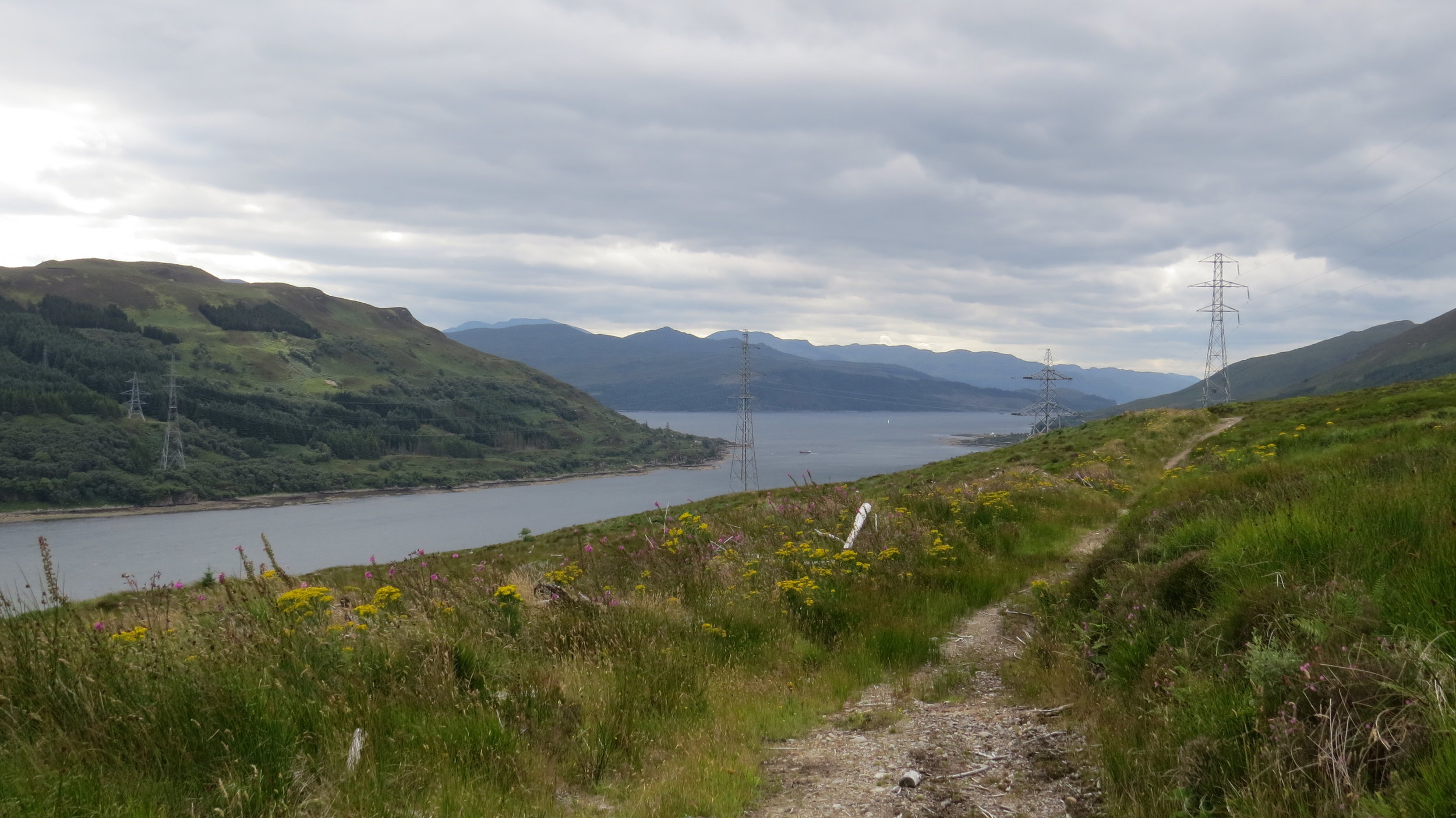
Fortunately, the river I had been worried about was not too bad to cross, I threw a few large rocks in the river and then was able to ford it without even taking my boots off. The next 3 miles or so were all off piste and from this end of the loch I could tell they were going to be hard. My original plan was going to follow the electricity pylons all the way until I got to the corner where hopefully a path would start but that looked tricky so I followed the rocky shore for as long as I could and then used deer trails when following the shore was impossible. That all makes it sound too simple this section was very hard but slowly (very slowly!) I made progress and finally reached the corner (Rubha Buidhe). In fact to highlight how hard this part was the 4 miles had taken me 4 hours!
Along this stretch I passed something very strange and I only just noticed it. Essentially a little sort of bothy built out of the ruins of a very old building and made watertight with a tarpaulin stretched over it. It was very low and I decided to investigate so shouted hello and when no answer I ducked down and headed in the tiny entrance, it was pitch black inside but with my phone I could make out a little kitchen area and a single bed area and even more bizarrely a visitors book. I do not know what this place was but I would not be brave enough to stay in it.
On the corner I was perked right back up by the sight of an otter basking on the rocks, though unfortunately as I had thought it would rain I had put my camera in my backpack so could not get a picture. I reached a little ruin where I was hoping to head uphill and offpiste to finally hopefully join a path, but to my absolute delight behind this ruin the track started straight away formed by some sort of tracked vehicle so made for good walking if a little overgrown. I had lunch got my camera out as the sun was appearing and carried on. The final 3 miles to Kylerhea were very smooth and didn’t take to long. I passed an otter hide but didn’t stop and then reached an RSPB hide where there were several volunteers and I asked what they had seen, and they had seen both white tailed and golden eagles (the golden was a bit of a cheat as they had left a deer hind carcass on top of the hill), and porpoises but no otters.
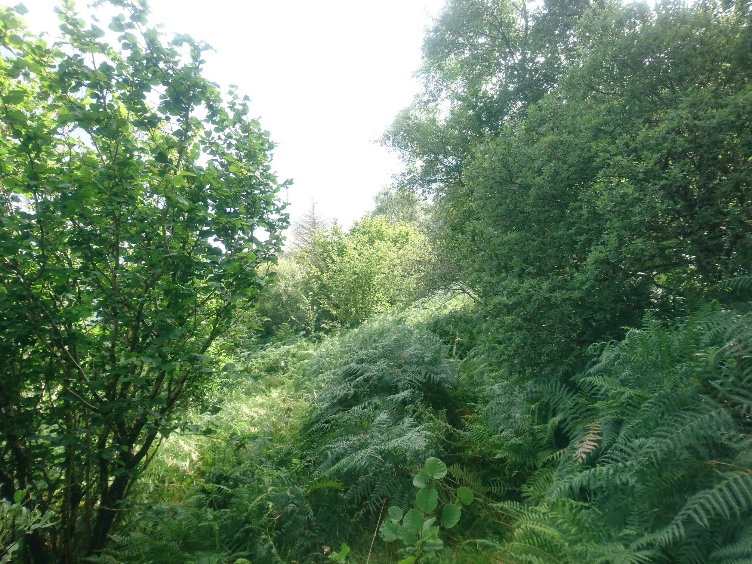
From Kylerhea there was a path (grey dashed) shown on the map along the coast but I had heard it only sort of existed and was an old drovers trail. After passing a public footpath sign that someone had tried to paint over the public bit, but you could still read the public I headed down through quite thick bracken to the edge of the beach, I decided to follow the path along the beach all the way to the end before trying to find the actual path. At the end of the beach I headed up the slope to where the path should be and struggled to see anything but as the ground was not to bad at this point I just headed in the right direction and after fording a stream I started to pick up a more definite trail which was clearly not just a deer trail and in fact there was the occasional human footprint. Once on this trail, for a mile and a half, the going was fairly easy. It was at this point I disturbed my first white tailed eagle which took of only 100m or so uphill of me and I had a great opportunity to get a photo but missed my opportunity as it glided out of sight. The path then headed into some woods and then as I stopped to check my map on my phone out of the corner of my eye I suddenly noticed a massive bird only 20/30m away on a branch it was another white tailed eagle though not as big and I think maybe an adolescent as less white details when it flew off again without me getting a good photo. In fact over a half an hour period I had about 20 sightings of the eagles I believe there were 3 of them and I presume I had accidentally come quite close to their nest which is why I bumped into an adolescent who had presumably fledged but still dependent on its parents. I did get a couple of not great pictures which can be seen below.
The path suddenly came to an abrupt halt where trees/bushes just made it impassable unless I had missed something which I am pretty sure I hadn’t. So, I clambered upwards to above the trees and then continued in the right direction to a river (Allt Cailte I believe) which was a proper ravine and I had no chance of crossing here, so as the trees were less dense here I descended to where the ford was shown on my map and in fact it wasn’t a ford but an old bridge and I had now rejoined the path. Strangely just after this it was clear someone was slowly trying to clear the path as there were small trees that had been cut down and some of the bracken had been cleared but only for about 75m or so but maybe it is just one man slowly trying to clear this short section that has overgrown as the part before and the next part was all fairly easy to follow and the walking even given the boggy and brackeny bits was not too hard.
I finally reached an actual forestry commission footpath above the ruined village of Leitir Fura and during the last stretch as today had been very hard and it was almost 6 o’clock I had decided I would stop here rather than the couple of miles further on I had proposed. I found a great pitch spot in fact the jackpot of pitches because it felt completely remote from people and there was no chance I would see anyone here after 6pm but there was a small mowed flat part by a single bench perfect for me to pitch on. I cooked a couple of my army rations and boiled up some water for tomorrow.
A tough day (the 13 miles took me almost 10 hours) but an incredibly satisfying one, and the white tailed eagle encounters were amazing!