Day 006: Lower Halstow to Harty
Distance: 29.25 miles
Ascent: 1113 feet
Weather: Very Windy, Sunny Spells
Accommodation: The Ferry House Inn (Kindly Complimentary)
Well this day was originally meant to go to Warden on the Isle of Sheppey, but on Thursday I was let down by someone who I had organised to book a room through (2 nights for the price of 1.) This left me in a quandary as on my weekly rest days I need somewhere with water, toilet, shower and either wi-fi or 4G. This could be anything from a campsite, hostel, B&B or kind offer from stranger. This allows me to keep myself and my clothes clean, and catch up on any admin. On other days I am happy to camp. Unfortunately, I had exhausted all options in Warden. I could only see 2 possible alternatives, one was to shorten the day to Sheerness, which would take at least 8 miles of the day and I did not really want to be behind schedule in the first week. The second option which I chose was to email a really remote pub the Ferry House Inn, and ask if I could pitch my tent and use the facilities. They went one better and kindly offered me a complimentary room for the 2 nights. The only downside was that it adds 6 miles onto the day, making it almost 30 miles
Due to the issue above the day had a high mileage and thus I needed to start really early to try and make sure I arrived before nightfall. I therefore set of at 6.15am, whilst it was still dark, and in possession of a lovely packed breakfast courtesy of the Green Farmhouse. I strapped on my headtorch, and as there would be lane sections early on put my backpack cover on as it is luminous green and has reflective motifs on it. There was a mixture of paths and mostly lane walking in the first few miles, and as it was dark I had to really concentrate on navigation. You can’t access Barksore or Chetney Marshes as these are bird reserves, but from Raspberry Hill, I turned on to the sea embankment paths I had got used to.
Despite the strong winds, which I partially sheltered from by walking beneath the embankment rather than on it, I soon reached the two bridges that cross over to the Isle of Sheppey. Both of these are pretty impressive. The Kingsferry Bridge is a road/rail vertical lift bridge that allows marine traffic underneath. I think some people may find it ugly, but I find its quite brutalist look attractive. When this bridge could not cope with the increase in traffic, the Sheppey Crossing was built. A huge but simplistic looking structure that dominates the skyline for miles around.
Once I had crossed over, I was back on the sea embankments, but unfortunately these were in a terrible state. A tractor had obviously been driving along this, a designated public footpath, which was now only just about accessible for walkers. This on top of the wind made this stretch very tough. I did eventually reach Queenborough, and after this I passed the biggest car depot I had ever seen it was over 2km long! But the path around it was pretty dire.
On reaching Sheerness, I passed right by a giant Tesco and decided to pop in not just to get provisions, but also as a respite from the wind. I ended up grabbing a quick snack and a tea and I was on my way again. I headed out onto the promenade, dropped my head and just pushed on into the ever increasing wind, to Minster. Between Minster and Warden it was hard to stick to the coast, and the route took me in and out a lot.
I was getting very fatigued by this point, due to the distance (over 20 miles already), the wind and some of the muddy sections. On top of this I knew it was going to be tight to get to the final location in daylight hours. At this moment, I headed down a path and then a sign saying don’t proceed due to cliff erosion, so I had to turn around retrace and then take another route. By the time I reached Warden I was really tired, and I still wasn’t sure I would beat the daylight.
In Warden they were trying to batten the hatches down as the easterly winds were getting very strong, and one giant sign that had already partially broken free and was threatening to take off entirely was quite cleverly made safe using a digger.
I managed to shield myself from the worst of the wind using the embankment after Leysdown-on-Sea and it was only when I got to near Shell Ness that I knew I would make it to The Ferry House Inn in time (even if only just). This last 3 mile section from Shell Ness was absolutely beautiful, the scenery was stunning, it was beautifully isolated, and it was as if the path was heading directly into the setting sun. It was also great to know I could soon just sit down and relax.
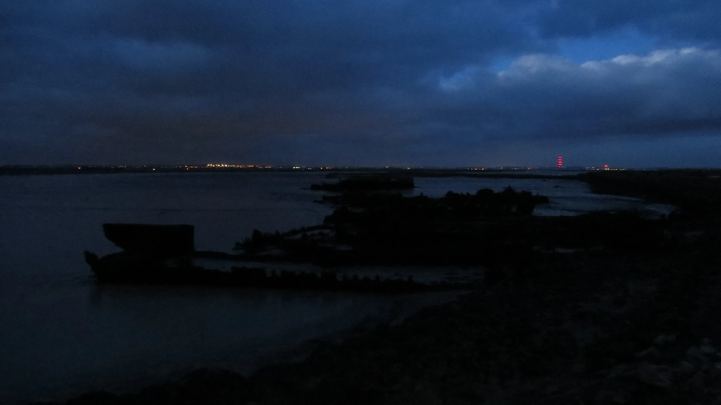
I finally reached the Ferry House Inn around 4.30pm, about 10.5 hours after setting off, and within about 15 minutes it was dark. I am thoroughly exhausted and looking forward to the rest day tomorrow.
I am extremely thankful to the Ferry House Inn for letting me have a room. It is in an absolutely stunning location and has some amazing views (will try and get some photos in the daylight tomorrow.)
Looking at my schedule this would be the 3rd longest day of the whole walk, and on a positive shows if needed I can cover this distance, as well as meaning I have 6 miles in hand that can be used anytime next week.
I just realised how grumpy the above sounds, actually a lot of the day was good, just the distance was at my limit and typing this whilst tired.
NB - photo quality not as good today, as my good camera's lens got covered in dust or sand, and I'll need to clean it tomorrow so that it focuses properly again.