Day 164: Ardtaraig to Carry Point
Distance: 18.96 miles
Ascent: 2770 feet
Weather: Delayed set off Due to storms. Windy, Sunny & Rainy During Walk
Accommodation: Carry Farm Campsite (kindly Complimentary)
I woke up after a good night’s sleep and it was clear straight away that the conditions outside were not good, I was so happy to be in the bothy with the fire lit. I could hear the wind and rain battering against the glass, and the pine trees were swaying all over the place. At first I was considering just leaving anyway, but I would have been soaked within minutes regardless of how good the kit is and the wind being that strong would have also made road walking a little dangerous as I would be unable to walk in a straight line. So, I made the sensible decision to delay setting off, and set myself the limit of noon by which time I would have to leave if I wanted to complete the day.
Finally, about 11:30 things began to calm down a little, the rain pretty much stopped though the wind was still quite strong, but I got ready and left about 11:45. The first part took me up the drive and out of the Ardtaraig Estate, where I joined a single track public road. This road would normally have been no issue as it was very quiet but with the strong wind I could not hear any cars approaching from behind and being single track meant the road was narrow. So, I just had to stick to the very edge constantly and try and not get shifted by the wind and every so and often a car would take me a bit by surprise.
During planning as there was no viable option to get down the east side of the peninsula with Strone Point, I decided to cut straight across the top of it. The road that did this was very steep and as I neared the top I became completely exposed to the wind which was brutal and straight in my face. For about a kilometer every step was an absolute effort, but finally I started to descend, and the effect of the wind reduced.
At Stronafian I turned off onto a quieter lane, which joined the more major road about a kilometer later. At this point my plot took me up the main road for a short distance before turning onto a quieter road (Cowal Way) to cross the river. But standing on the spot and seeing there was a footbridge marked on the map directly down from me I couldn’t resist trying to take this more direct and coastal route to join up with the Cowal Way. I managed to get through the field and down to the exact spot but there was no footbridge, I debated wading across but thought it might be a bit deep, and there were two trees that had fallen in the river one on each side and I thought about trying to use them to cross. In fact I went as far as climbing 3 or 4m across the first one and was actually debating trying to jump onto the other one when the logical side of my brain said that there was probably about a 50/50 chance of me making it which meant there was a 50% chance of me ending up in the river with all my stuff on. So, I admitted defeat and headed back up the hill and to the road, this was annoying and had wasted at least half an hour, but these things happen sometimes on the walk.
Once on the Cowal Way and just over the bridge there was an electronic sign with a message about the Portavadie Ferry saying ‘due to the weather all crossings are cancelled.’ This was quite worrying for me as though I wasn’t taking it today, I was hoping to take it in the morning, in fact I had no other option as there was no path around and the distance around would be about 150 miles, but I would have to deal with that tomorrow.
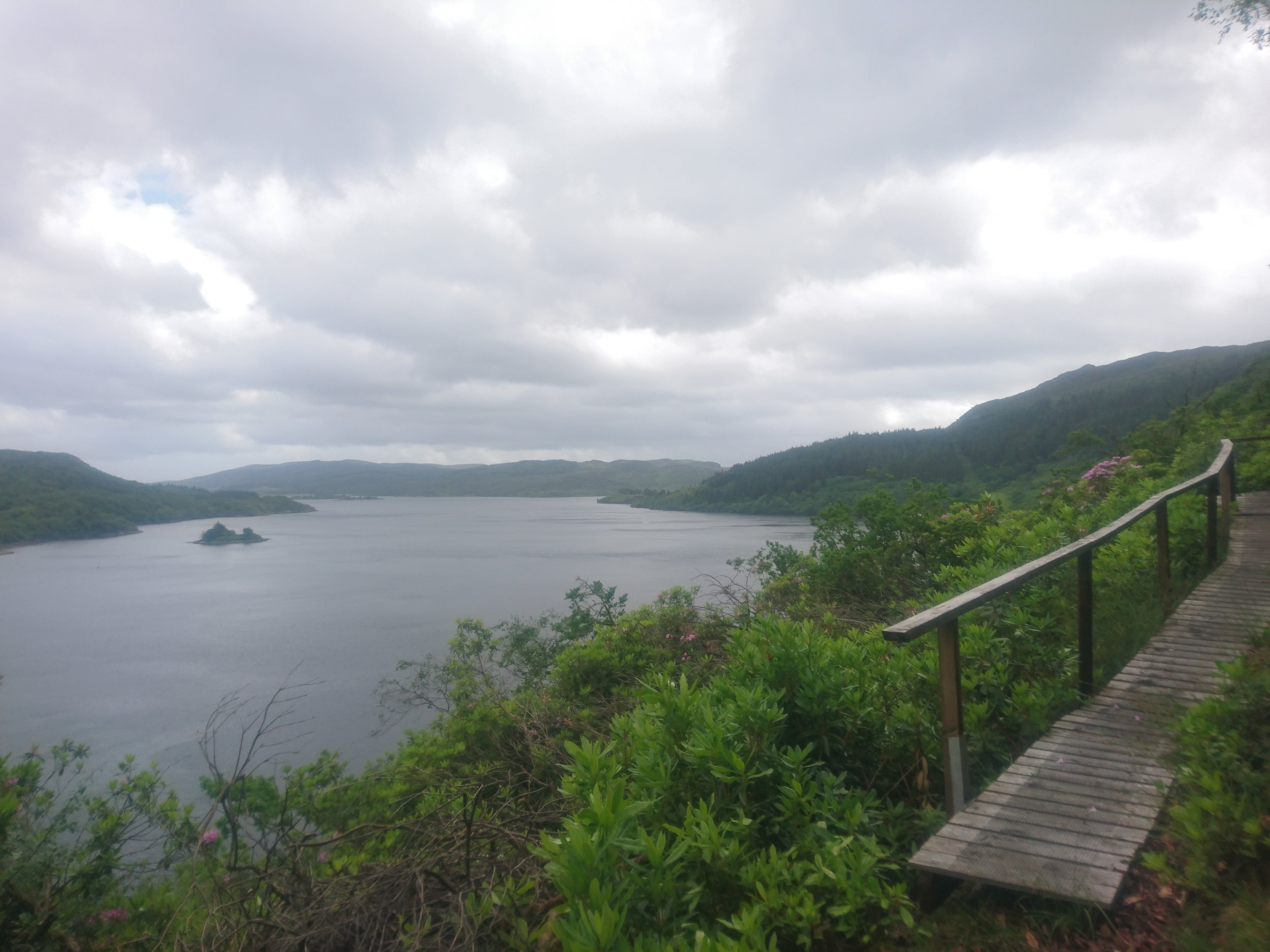
The Cowal Way followed a road and track for the first 3 miles or so up until Craig Lodge, making for easy walking. But then it took a quite simply incredible route, incredible in the fact I cannot believe someone came up with it or that someone actually managed to construct and make it work. It literally climbed boulders, swept around rockfaces on boardwalks, ropes and handrails to literally pull yourself up the steep bits, squeezing through gaps in the rocks. I just can’t put into words the effort that had gone into making this maybe 1 mile section but though extremely tiring and very slow progress I absolutely loved it.
After this section reached the beach it returned to gravel tracks through the woodland all the way to Tighnabruaich. I stocked up on supplies for the next day and a half here, and was hoping to grab something more in a café or pub as felt I needed a proper meal, but I had arrived in the ghost hour where cafes have shut but pubs have not yet started serving so I just had to make do with what I had got in the as usual not great shop.
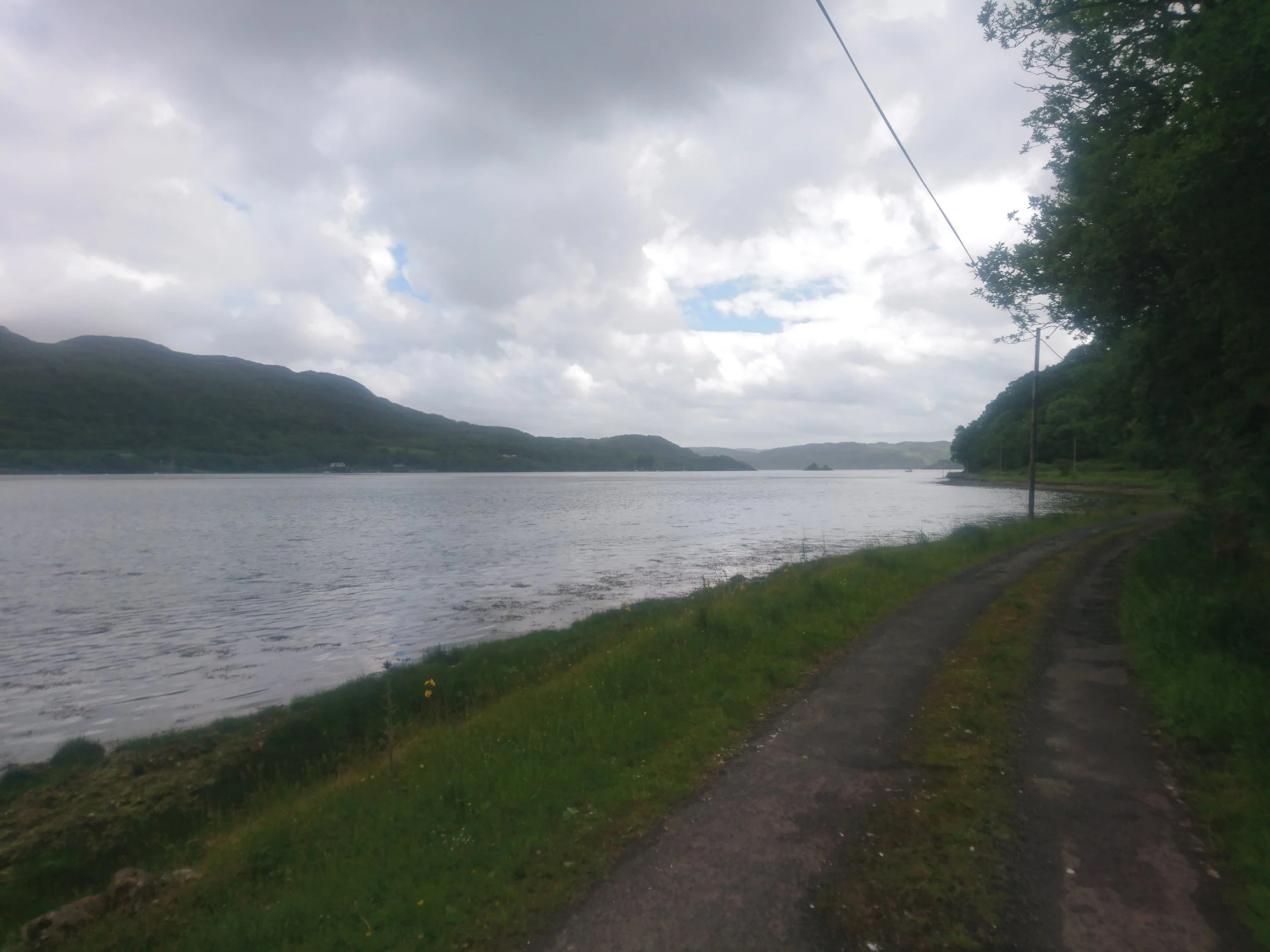
From here it was just over 3 miles of road walking down the loch edge all the way to Carry Farm where they had very kindly let me pitch for free for the night.
I think a mixture of the wind, the food I had eaten, the dampness had actually made this a really tough day even if it was not that long.
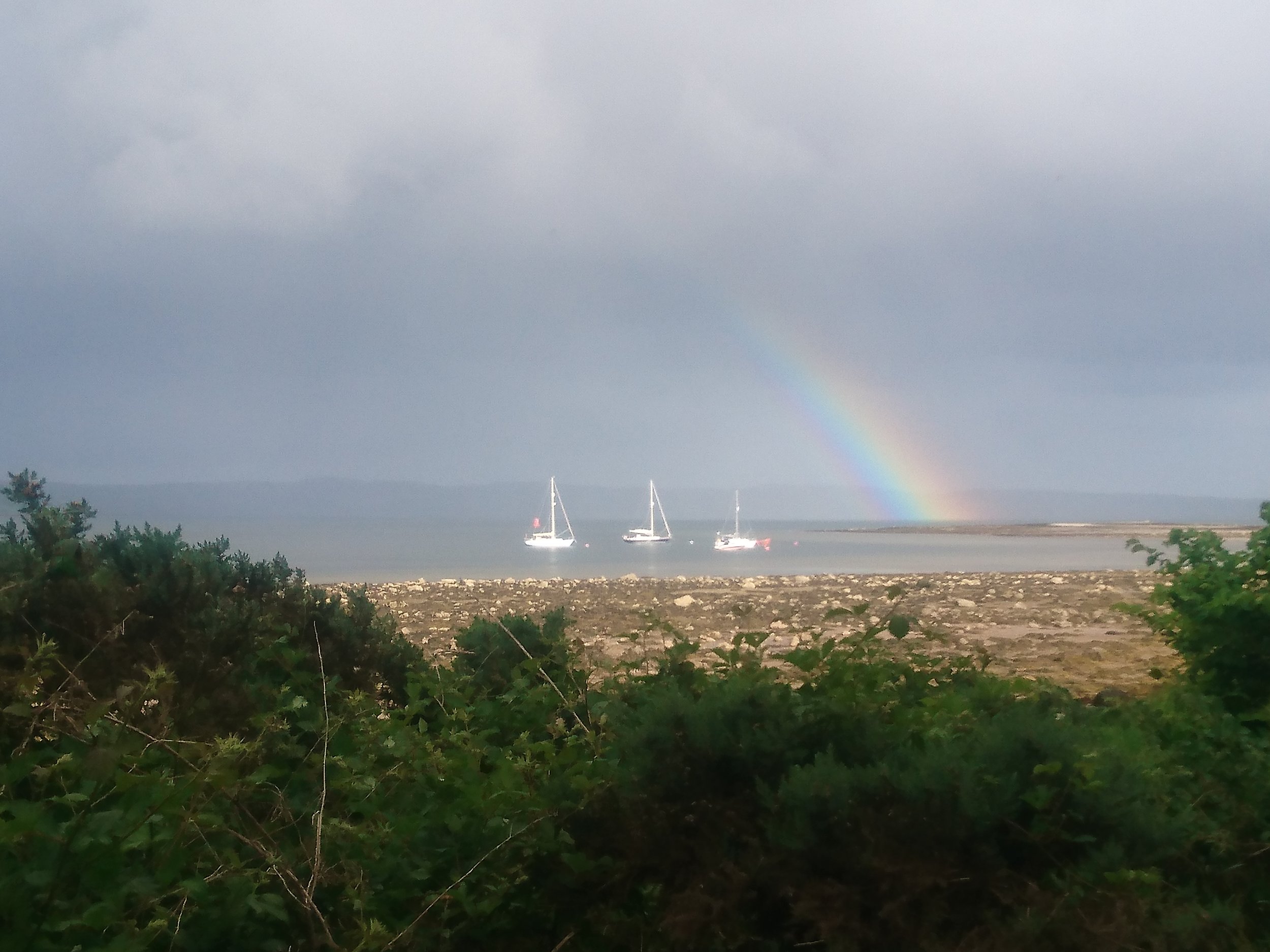
NB - annoyingly my camera was in my backpack today due to the rain, so panoramic shots not as good.