Day 110: Malltraeth to Rhoscolyn
Distance: 23.03 miles
Ascent: 1697 feet
Weather: Sunny
Accommodation: Camping Outdoor Alternative (Kindly Complimentary)
The sun was out but it was actually a very cold morning and there was a heavy dew. I set off early and was soon crossing the bridge into Malltraeth which seemed a fairly small standard village. But the path took a quiet private lane out of the back of it, on which there were some very grand houses and architecture, which completely juxtaposed to the little high street.
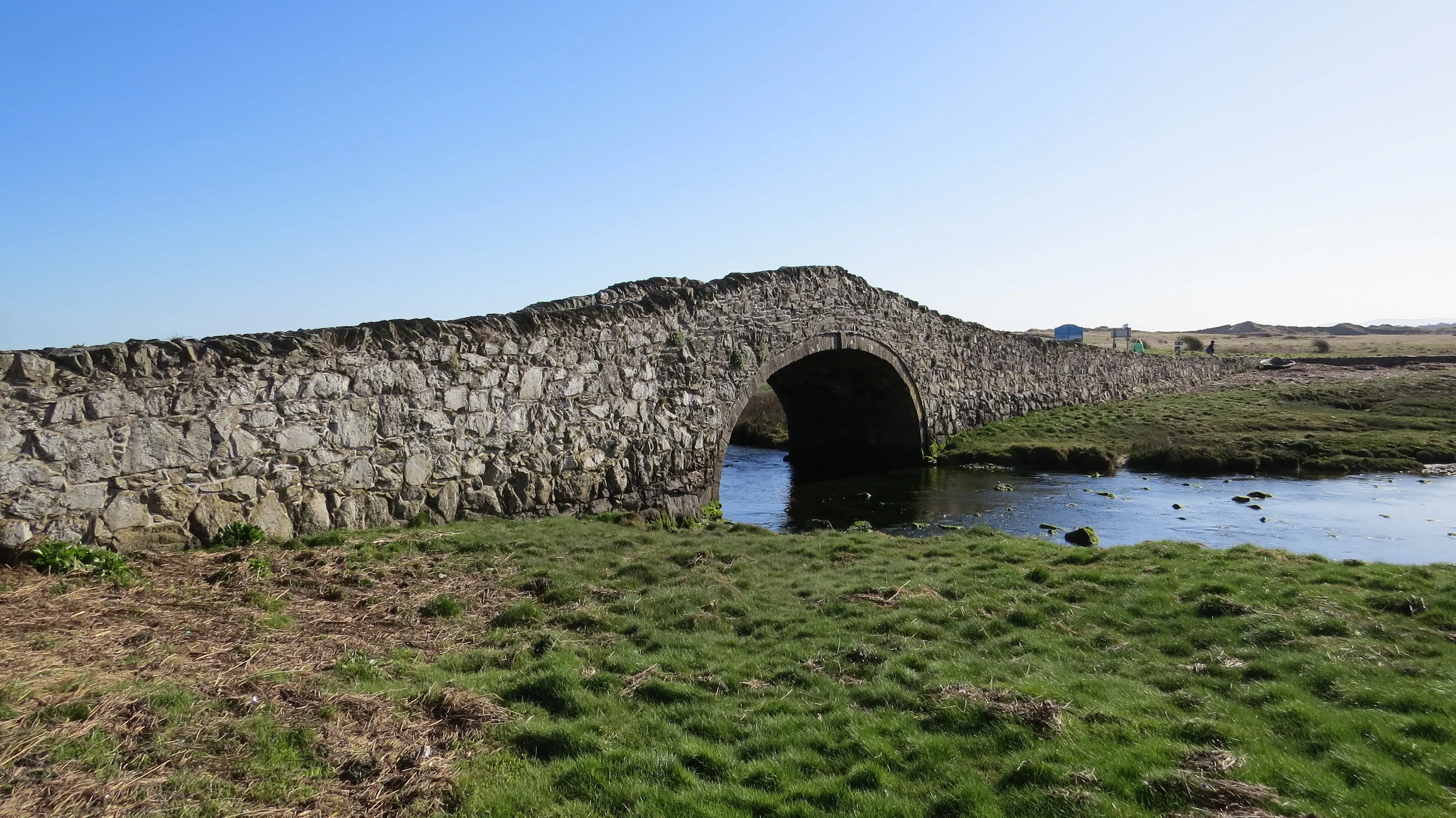
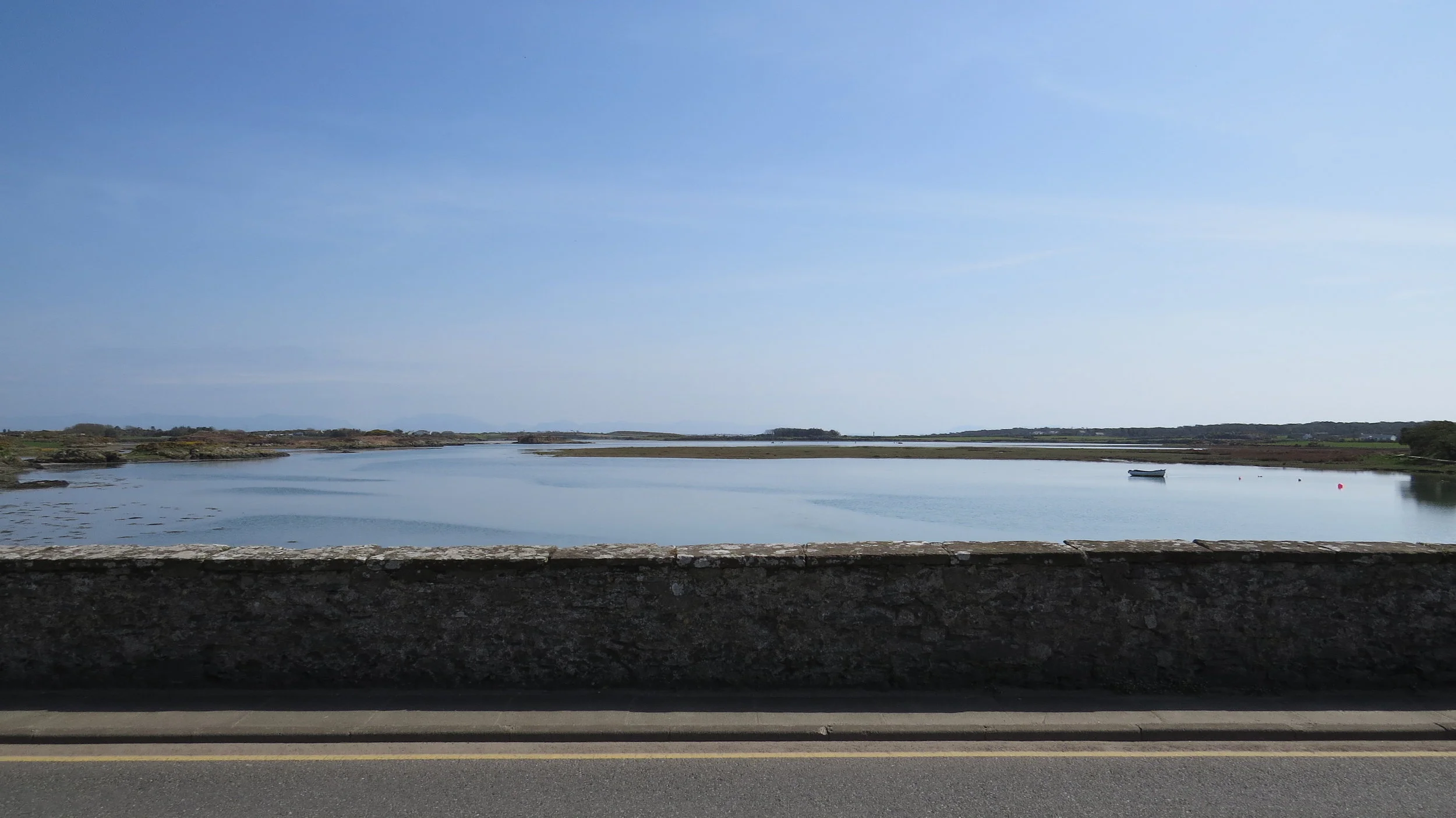
From here the path followed small country lanes, which were very scenic and all seemed to be encompassed by the massive Bodorgan Estate which seemed to cover a significant part of today’s walk. After a short detour through the dunes, the path crosses a spectacular little stone arch bridge, with a lovely rolling shape, over to Aberffraw. I found a lovely set of wooden stairs overlooking the river to have a little snack in the morning sun.
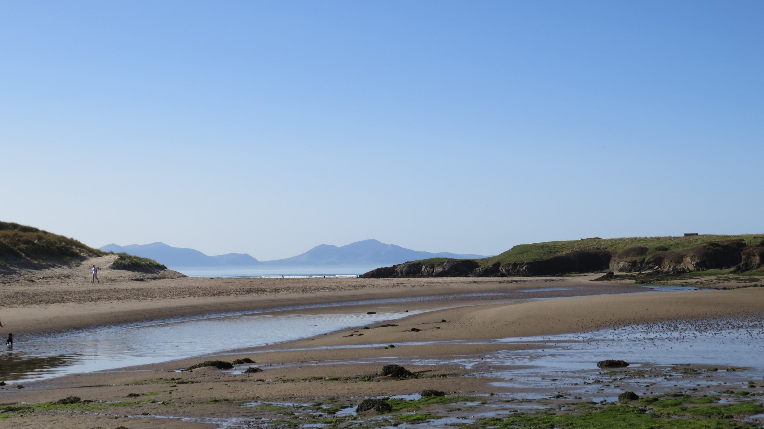
I headed out back along the river and suddenly at a bend, the hills of Snowdonia suddenly appear as a backdrop making for a beautiful view. The path follows the low cliff all the way around to Porth Cwyfan, where quite to my surprise there was an old church (St Cwyfan’s Church) perched on a little man made circular island out on the rocks. It turns out the original church was built in the 12th century, on what was then the mainland on a peninsula, but as more and more erosion occurred it slowly got detached from the land and was actually getting very close to the sea and had been vacated in the knowledge it would fall into the sea eventually. But in 1893 a local decided it must be saved and managed to raise funds to construct a wall around it to protect it from the sea so it now appears to sit on a perfect man made little island that can only be accessed at low tide.
Also from this point, you could see the spectacular Anglesey Motor Racing Circuit, which was in a spectacular setting up on the cliffs, and there appeared to be a big race weekend on as there were cars flying passed and the noise was incredible. Unfortunately the path diverts inland and around this, though the route was not unscenic, and a couple of miles later I rejoined the cliffs which were higher at the point.
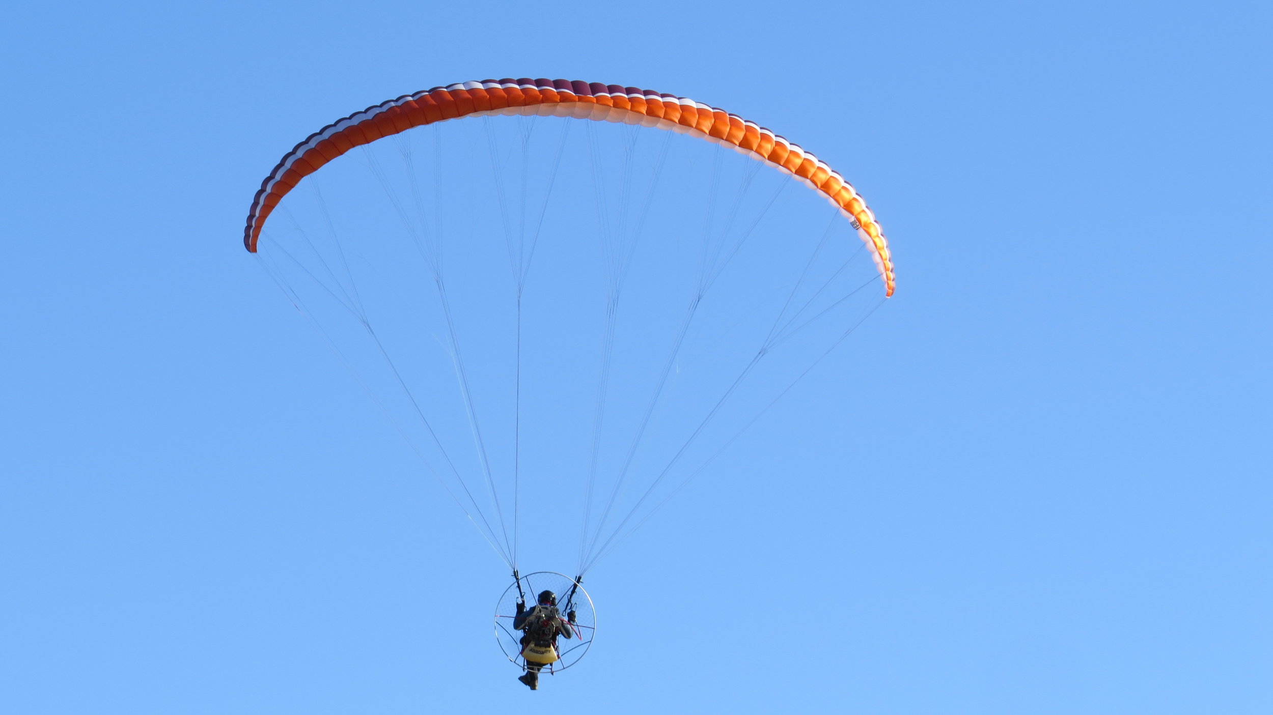
The path continued along the cliffs, until I dropped down to the beach just short of Rhosneigr. Where I got some food from the shop for a picnic in the sun. I was getting slightly confused as I was sure every dog I saw was the same breed, literally hundreds, but turns out I was not confused there was a sort of charity walk where you had to own this breed of dog. It was very surreal, I am not good on dog breeds but see photo below which has a small proportion of the dogs.
I took of my shoes & socks to wade across the shallow river after Rhosneigr, and then walked the couple of miles along the beach with 3 horses being raced along the beach and an incredible drone flyer who was filming them. I cannot explain how impressive this drone & steerer were, managing to not just keep up with the horses but actually do circles around them as they were at fall speed, and from at points over a mile away, he had some sort of headset (looked like one of those VR ones) which presumably gave him a drones eye view of the world.
At the end of the beach I headed up the waterway/river/sea not sure what you would call it that separates the main part of Anglesey from Holy Island. Just short of reaching Four Mile Beach, my body had a moment, I am not sure why maybe due to the heat, but I suddenly knew I had to stop. So I told myself it was only about 700m till there was a little café on the other side of the bridge and I would stop there for a short break.
The café was quite quaint but empty, though at least open. I got a little ice cream tub, and was very disappointed to find it had been defrosted and refrozen, quite likely many times, as it was like shards of ice so couldn’t eat it and sent if back, and weirdly got a tea instead despite the heat.
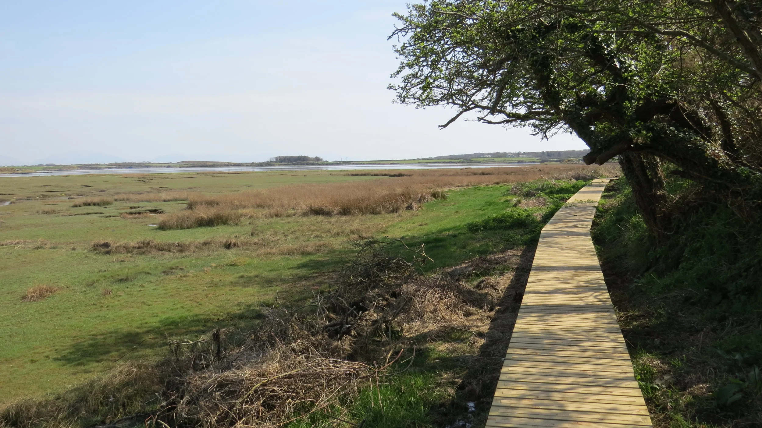
I felt refreshed so headed south down the tidal edge of the waterway. I know I said only 2 days earlier was the longest boardwalk, but today massively beat it. There were several long boardwalked sections down this part, which are fun/easy to walk on, though must have taken a lot of effort to construct. The path leaves the waters edge, and heads through a couple of little woodlands, before suddenly emerging onto the stunning Traeth Llydan, a lovely beach which was bathed in the still glorious weather.
From here it was only a short stroll up to the campsite (Outdoor Alternative), which they kindly offered complimentary. This is my sort of campsite, not just a boring perfectly flat rectangular field but with a bit of interest, few little mounds (though plenty of flatness to pitch), and hidden little corners. The showers, and washing area were also contained in a lovely little wood clad building.
I had just passed 2000 miles and based on that (and as I was a little short on food) I decided to treat myself to a pub meal. It was a treat, though their portions did not satisfy a hungry walker.
So a lovely day in the sun, and strange to be on an island linked by a bridge to an island linked by a bridge to an island.